Multi-Resolution 3D View

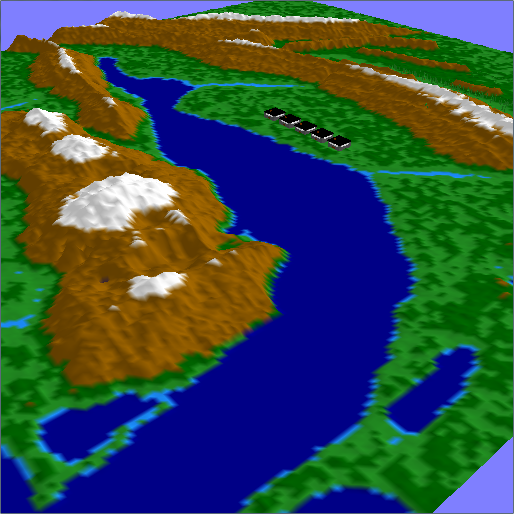
3D terrain visualization program which loads a terrain map file containing unsigned chars. The terrain switches to a half resolution version based on the distance from the viewer. The boundaries between the full and half resolution terrain are “stitched” so that no “holes” are visible in the terrain. The user may navigate through the scene using keyboard and mouse input.

You might be interested in …

Particle Systems

A particle system that uses an attractor force that pulls particles to a respective position in space. These positions were based on vertex positions from an obj file.

Read More

Isosurface Computation and Display

The purpose for this project was to visualize interactively isosurfaces of a 3D dataset for three levels of resolution. Using the provided datasets, I extracted and rendered an isosurface. I also added two user interface components that allow a user to change the isovalue of the isosurface and level of resolution of the dataset.

Read More

Ray Tracer

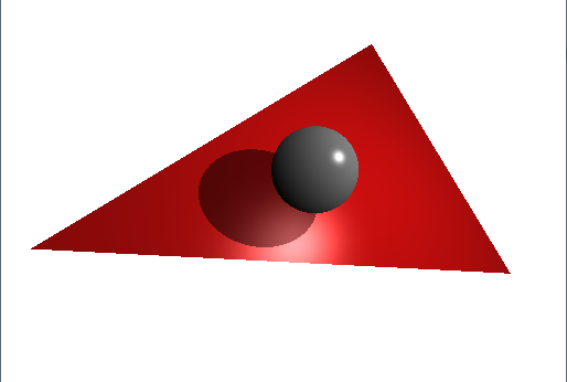
Ray tracer scene containing a sphere and a triangle. Implemented simple phong lighting (ambient, diffuse, specular model) and also casts shadows.

Read More