Isosurface Computation and Display

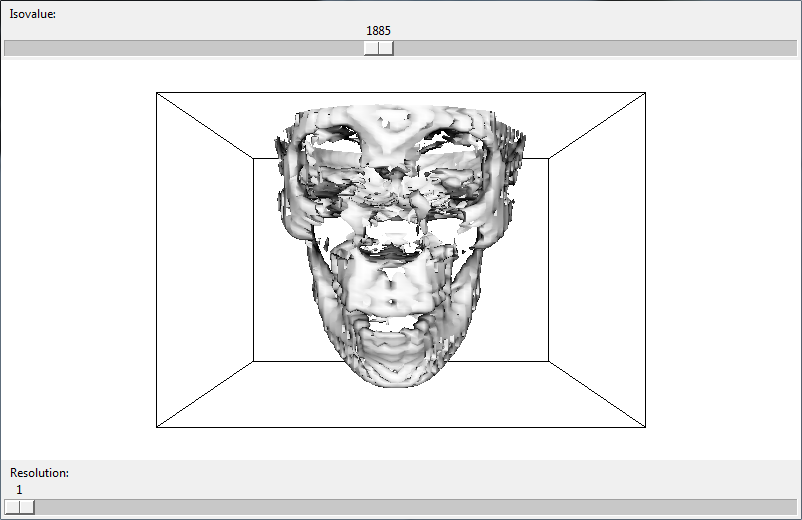
The purpose for this project was to visualize interactively isosurfaces of a 3D dataset for three levels of resolution. Using the provided datasets, I extracted and rendered an isosurface. I also added two user interface components that allow a user to change the isovalue of the isosurface and level of resolution of the dataset.

You might be interested in …

2D Contouring and Color Maps

The purpose of this project was to visualize how Mount St. Helens was changed by the eruption of 5/18/80. I used Historic Digital Elevation Models (DEM) from the United States Geological Survey website. The terrains have a color map to show the elevations and also has 2D contours at proper elevations to highlight distinct heights. The terrains […]

Read More

Sandboxr

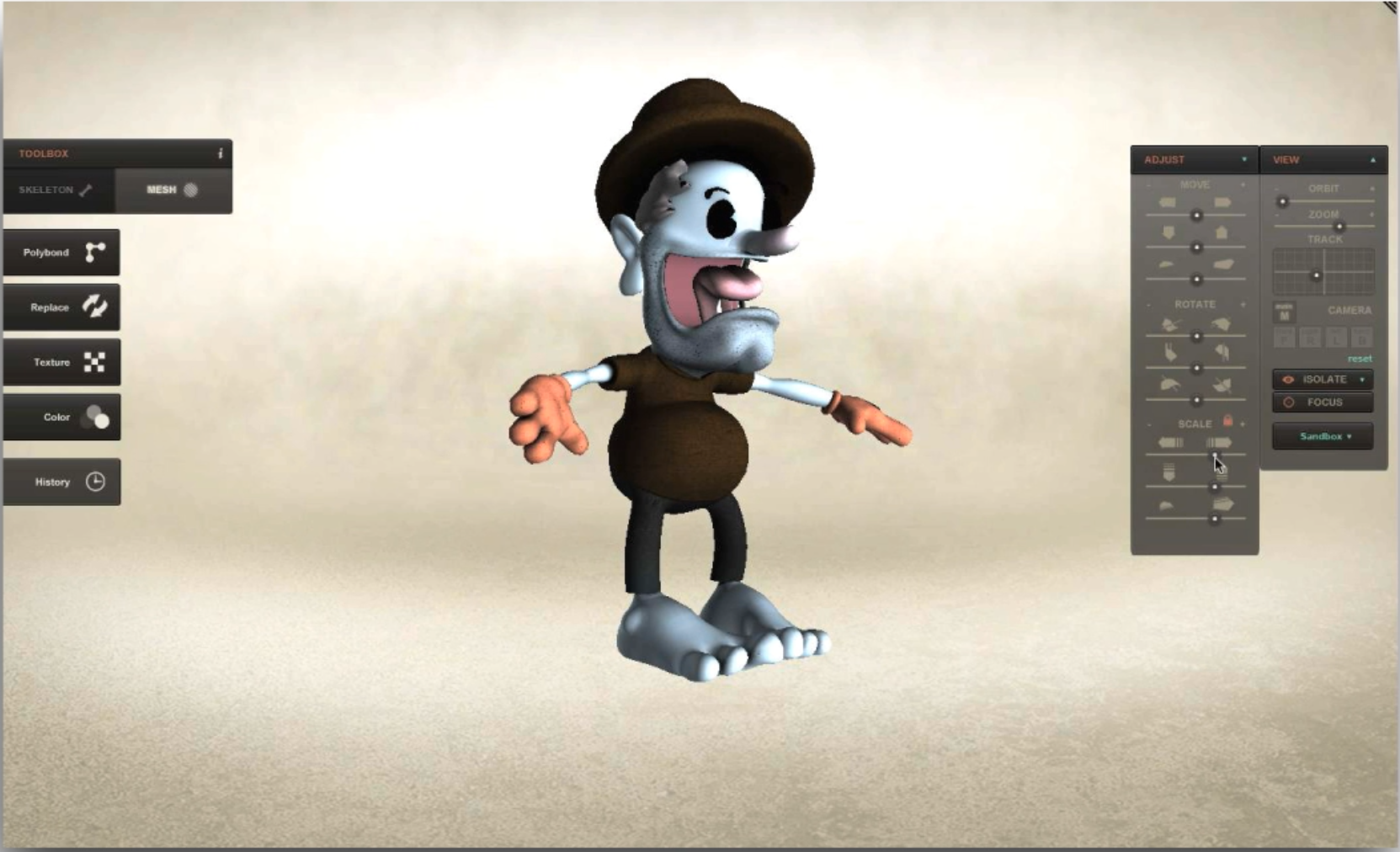
Created using the Unity Game Engine for the company Sandboxr. I was hired as a Graduate Research Assistant to help the company create its application. The founders wanted an application that would allow them to import 3D objects that they would then arrange in 3D space. Password: sandboxr

Read More

Deformable Bodies

A deformable bodies simulator based on a standard non-linear strain finite element simulation as in O’Brien et al. [1999]. This approach required incredibly small time steps.

Read More